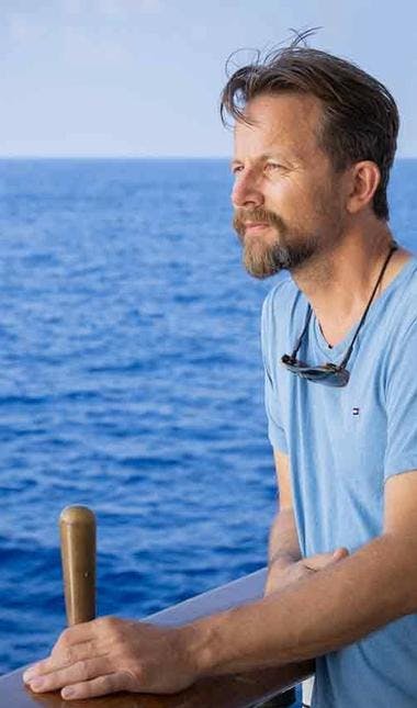
A ship full of students
A ship full of students

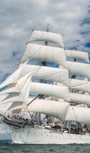
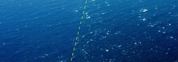
A few days into the new year Statsraad Lehmkuhl sets sail and heads towards one of the world's strongest ocean currents.
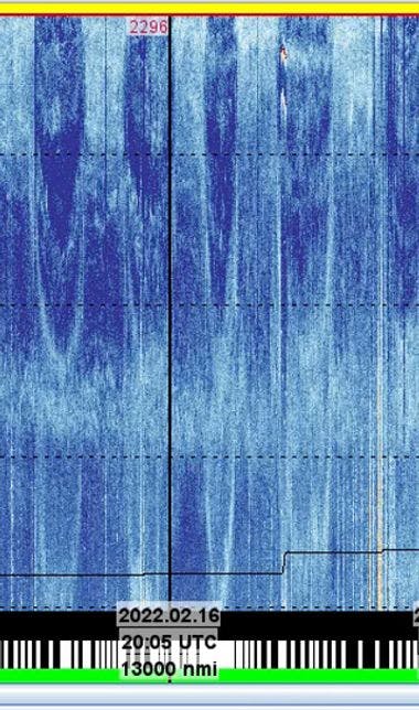
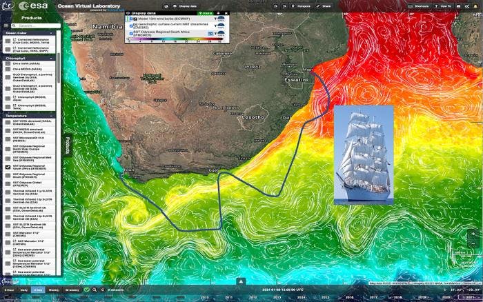
High above us orbit satellites that watch the earth. Some of them survey the oceans, and are equipped with instruments that constantly record parameters such as the temperature of the sea surface, the color of the water, currents and eddies on the sea surface, the effect of the wind, and the size and direction of the waves.

The measurements made by the satellites tell how the ocean is doing right now, and enable the researchers to monitor the conditions both throughout the year and from year to year.
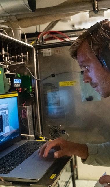
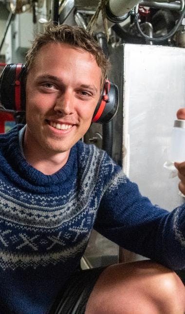
To interpret the measurements, the satellite images must be analysed, and this requires both knowledge and experience. Since September, 60 students have logged onto the internet once a week and participated in the Advanced Ocean Synergy Training Course. The aim has been to learn the analysis tools SEAScope and SynTool.

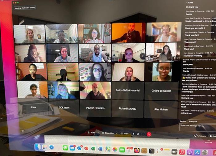
The course is a collaboration between the Nansen Environmental and Remote Sensing Center, NERSC, in Norway and the European space agency, ESA. The students participating are doing a master's or a doctorate, or have just finished their doctorate.
To Maputo
Students from several countries have participated, and now they are all on their way to Maputo in Mozambique to board Statsraad Lehmkuhl. The ship sets sail on 3 January, and on the way from Maputo to Cape Town the students will check the facts. Does what they interpret from the information provided by the satellites match the conditions of the sea that surrounds the ship?

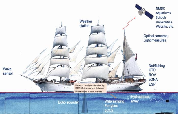
Statsraad Lehmkuhl is equipped with instruments that allow them to check exactly that, and the course is planned so that the ship crosses the Agulhas Current several times.
This ocean current is one of the largest on the planet, transporting 70 million cubic meters of water per second. That is twice as much as the Gulf Stream.

Three groups
The students are divided into three groups, each of which has been given their own task.

The first group will investigate the interaction between the sea surface and the atmosphere just above it. The wind creates waves, which are affected by how the water on the surface flows. It is in the boundary between air and water that gases, such as CO2, and heat are exchanged.
Group two will concentrate on the Agulhas Current. It has backwaters and eddies, and distinct layers with different temperature and salinity in the depths. Between the layers waves develop, far below the sea surface. Is it possible to detect the waves from satellites?

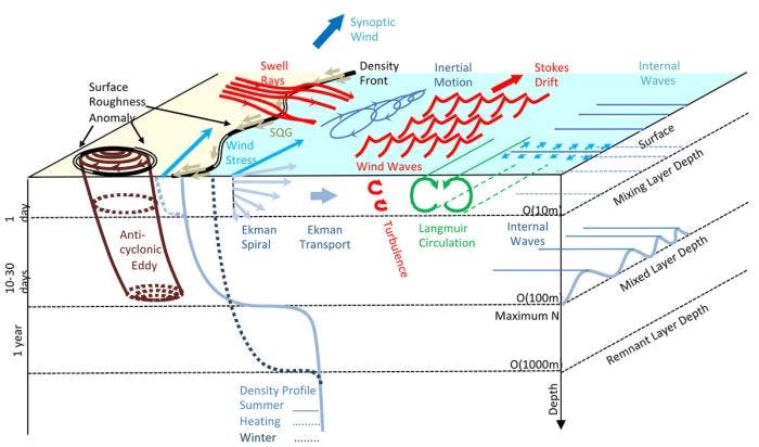
The layers change throughout the year, and what happens down there in the depths is important for understanding how the Agulhas Current is affected when Antarctica is heating up, and ice is melting and making the sea less salty.

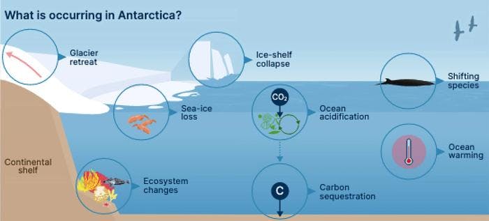
Group three will look at the chemical conditions near the sea surface, and how what lives there is affected. Climate change means that seawater contains less oxygen and at the same time becomes more acidic. Heat waves cause the water to become very hot now and then, lasting longer and affecting larger areas than before.
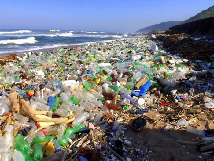
The content of microplastics and other pollution increases, and is transported by the Agulhas Current from the northern part of the Indian Ocean and southwards into the South Atlantic. All of this affects the nutrients available, and the conditions otherwise for the organisms that live there.

A lot of work
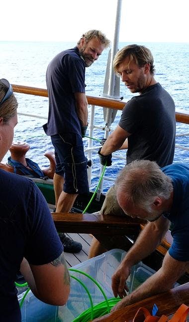
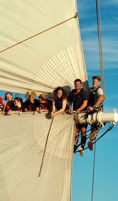
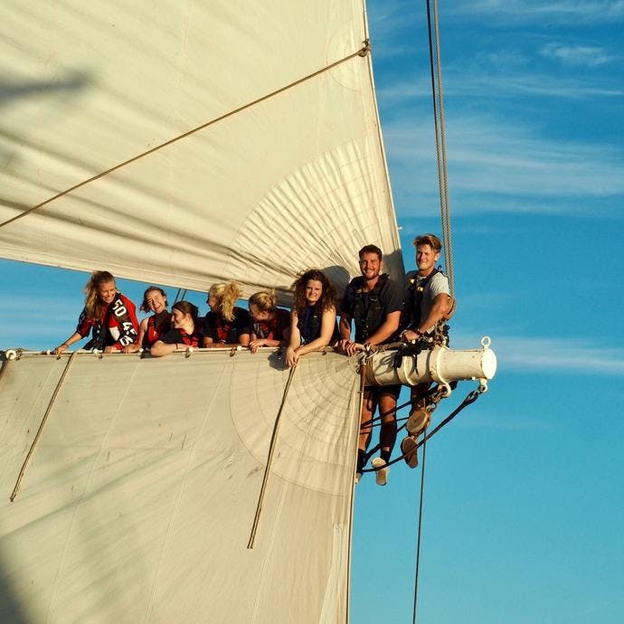
The days will start with a meeting where the captain tells about the weather conditions. On a sailing ship, the weather and wind have the last word when the day's activities are to be planned. But the students have a lot of work ahead of them anyway, they will also do regular shifts and sail the ship.
The students are accompanied by supervisors from NERSC and ESA, as well as researchers and others from universities, institutes and organizations in Europe, South Africa and India.
The conclusions the students come to will be turned into articles, and published in scientific journals. That means a lot of work even after the ten-day voyage, the first drafts must be ready during February.
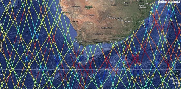
Below is an Earth Nullschool map showing the current wind direction and wind speed in the south of Africa.